Weather, Gear & Seasonality

Before You Gain Height

Most trouble on a mountain pass begins in a warm valley, where dry tarmac and clear skies disguise how sharply wind, moisture, and daylight tighten two thousand metres overhead.

Reading Mountain Weather Instead of Valley Icons

A single sun icon for a valley town like Martigny or Bolzano tells you almost nothing about the saddle fifteen kilometres above it. Mountain meteorology hinges on three specific figures: the freezing level (zero-degree isotherm), ridge-top wind speed, and the probability of afternoon convective thunderstorms.

Under standard atmospheric conditions, dry air cools by roughly 6.5 °C for every 1,000 metres of altitude gained, and faster still in bright mountain air without cloud cover. A comfortable 22 °C morning in a 700-metre valley frequently translates to 9 °C at a 2,700-metre pass—and feels near freezing once a 35 km/h funnel wind blows through the notch. Add wet rain or sleet, and hypothermia becomes a practical hazard in July as readily as in October.

Always consult dedicated mountain-weather services rather than generic phone summaries: MeteoSwiss alpine bulletins for Switzerland, GeoSphere Austria mountain forecasts, Météo-France massif reports (including bulletin montagne), ARPA regional services in northern Italy, and the Met Office mountain forecasts or MWIS in Scotland. When convective storms are forecast after 14:00, plan to cross the highest exposed crest before noon.

Folded paper topographic map with contour lines, baseplate compass, and pencil on a light cream surface
Paper 1:25,000 map and compass prepared for route-profile checks; photographed on a cream studio desk.

Cartography & Elevation Benchmarks

Digital mapping apps are convenient for quick bearings, yet paper topographic maps remain indispensable when cold air drains phone batteries or dense mist demands a wide view of escape valleys. Look for national survey sheets at 1:25,000 scale, where 10-metre or 20-metre contour intervals clearly reveal cliffs, scree chutes, and shelter huts.

Region Recommended Map Series Scale Live Condition Authority
Switzerland Swisstopo Landeskarte 1:25,000 MeteoSwiss / TCS Pass Status / SLF
France IGN Série Bleue / Top 25 1:25,000 Météo-France / Inforoute
Austria & Bavaria DAV / ÖAV Alpenvereinskarten 1:25,000 GeoSphere Austria / ÖAMTC / Lawinenwarndienst
Northern Italy Tabacco / IGM Topographic 1:25,000 ARPA Piemonte / Veneto / Meteo Alto Adige
Scottish Highlands Ordnance Survey Explorer / Harvey 1:25,000 MWIS / Met Office Mountain / SAIS

Seasonality is not a calendar date: A heavy late-April snowfall can delay road clearing on 2,500-metre passes by three weeks, while a dry autumn can keep trails open into November. Treat typical opening windows as historical context, and verify live openings on the morning of departure.

Practical Checklists

Two Packing Lists: Foot Crossing vs. High Road

Adjust quantities to pass altitude and remoteness, but keep core redundancy consistent across every crossing.

On Foot

Walking-Pass Daypack

  • Waterproof shell jacket and windproof mid-layer (fleece or light wool), even under blue valley skies.
  • Lightweight warm hat and gloves for the summit saddle.
  • Paper 1:25,000 map in a waterproof sleeve, baseplate compass, and fully charged phone with offline GPX.
  • At least 1.5–2 litres of water plus high-calorie dry food and spare snacks for delays.
  • Compact first-aid kit, blister tape, emergency foil bivvy bag, whistle, and headlamp with fresh cells.
  • Sunglasses (UV400) and high-factor sunscreen—UV intensity increases roughly 10–12% per 1,000 m gained.
By Car, Motorcycle or Touring Bike

High-Road Vehicle Kit

  • Full fuel tank or at least 60% EV battery charge before the final valley town—summit pumps are rare.
  • Verified tyre tread depth, healthy brake pads, and screenwash topped up for alpine road spray.
  • Warm jackets and dry socks inside the cabin in case of a breakdown, hail delay, or tunnel closure.
  • High-visibility vests for every occupant, warning triangle, and country-required first-aid kit.
  • Cash in local currency for remote tollbooths, mountain huts, or village bakeries with weak mobile signal.
  • Written note of one lower-elevation alternate crossing if snow or rockfall shuts the primary pass.

Turnaround Discipline & Emergency Numbers

Deciding to retreat before the saddle is never a failed journey; it is ordinary alpine judgement. Set two clear objective triggers before leaving your lodging: a clock cutoff (for example, turning back if you have not reached the upper refuge by 12:30) and a weather trigger (hearing thunder, losing trail visibility below 50 metres without clear navigation, or encountering frozen steep snow without traction).

Save regional rescue numbers before losing signal: 112 works across the European Union and Switzerland as a general emergency line, while 1414 reaches Rega air rescue directly in Switzerland and 140 connects to Alpine Rescue in Austria. Always leave your intended crossing, starting village, and expected arrival hour with a reliable contact or your lodging host.

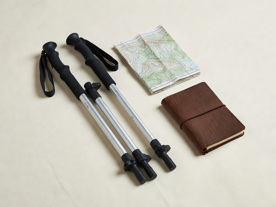
Collapsible aluminium walking poles, folded topographic pass map, and field notebook set against plain cream fabric
Compact pass-crossing kit staged on cream linen: poles for descent stability, paper map, and written timing notes.